
 Skip to Content
Lake Oroville State Recreation Area lists $8 for vehicle day use and $5 for a boat launch, and its day-use areas are open 8 a.m. to sunset, according to California State Parks. Feather Falls is a separate Forest Service trail: the upper trail is 4.5 miles, the lower is 3.5 miles, and the Forest Service says to allow 4 to 6 hours for the loop.
Checked November 3, 2026
- $8Vehicle day use, Lake Oroville SRA
- $13Day use plus boat launch
- 770 ftDam above the Feather River streambed
- 4-6 hrFeather Falls loop, per Forest Service
Read this first: the hours, fees, rules and closures on this page were taken from the sources named beside them; we read those sources on November 3, 2026. The California State Parks Lake Oroville page, the Department of Water Resources visitor center facts on our Oroville Dam page (read October 29, 2026), and the USDA Forest Service Feather Falls Scenic Area page. This is not legal, medical or safety advice. They change, so check the agency or business named before you rely on them. Anything we could not read is marked Not Confirmed where it appears. Trail closure status was not on the page we read.
Lake Oroville
| Item | What State Parks prints |
|---|---|
| Day use areas | Open 8 a.m. to sunset |
| Campgrounds | Open 24 hours a day |
| Launch ramps | Generally 7:30 a.m. to 10 p.m.; DWR lists specific ramp hours |
| Vehicle day use | $8.00 |
| Boat launch | $5.00 |
| Vehicle day use plus boat launch | $13.00 |
| Dogs | Only in the parking lot, paved roadway and campgrounds; not on trails or day-use areas |
| Phone | (530) 538-2200 |
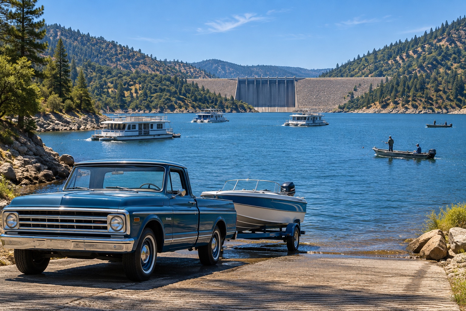
State Parks says the lake was formed by the tallest earth-filled dam in the country, 770 feet above the streambed of the Feather River, and that at maximum elevation it has about 15,500 surface acres and 167 miles of shoreline. For the viewing tower, films and exhibits at the Kelly Ridge Visitor Center (DWR), see our Oroville Dam overlooks and visitor center page; it lists a 47-foot viewing tower with two telescopes and 917 Kelly Ridge Road as the address, and about 50 minutes from Chico without traffic (Google Maps estimate, read October 29, 2026). Marinas and boating are in the boating and fishing guide and the Lake Oroville page.
Feather Falls
What The Forest Service Says
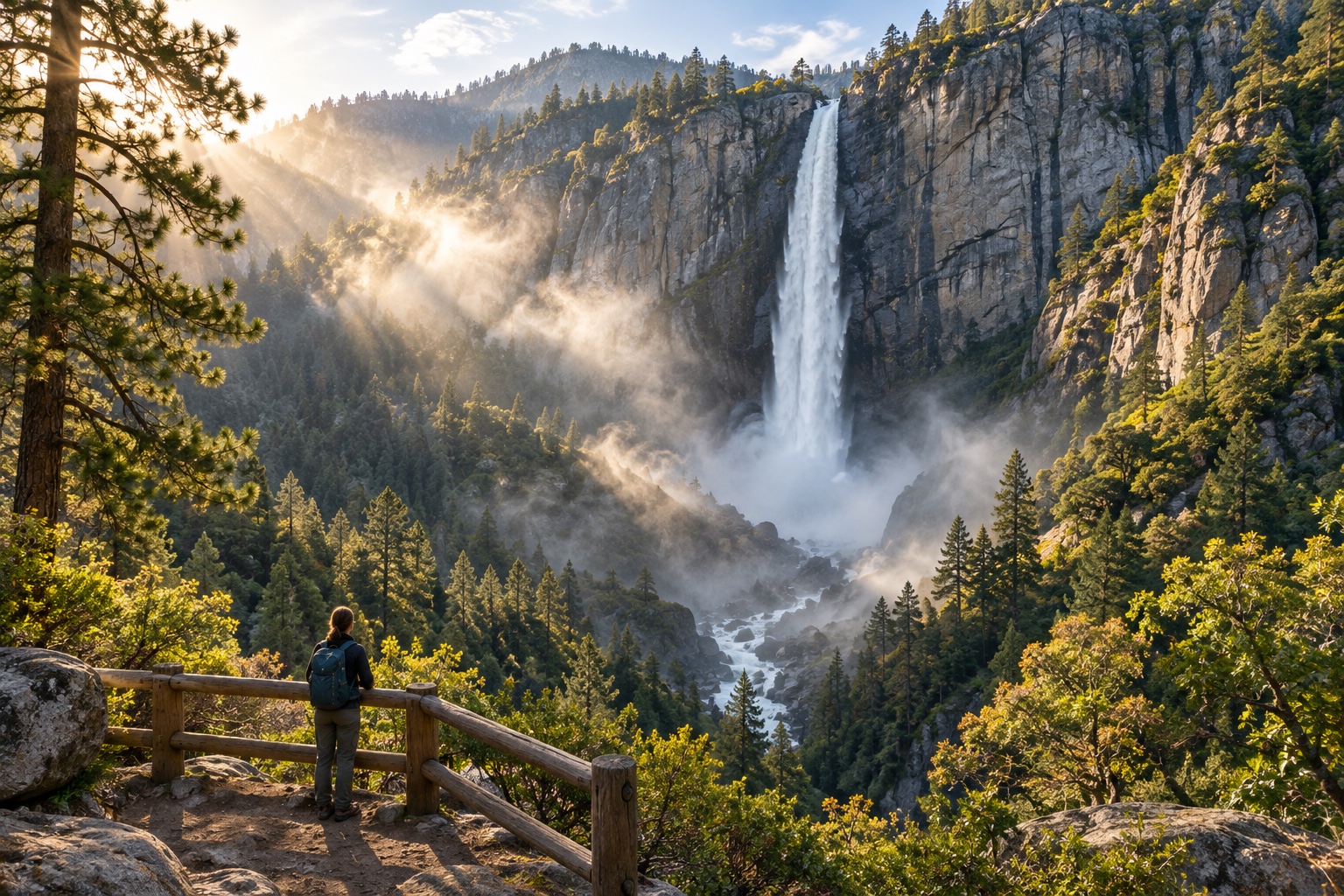
The Forest Service calls Feather Falls “the sixth highest waterfall in the nation.” “The trail to the falls consists of upper and lower sections, both leading to the falls overlook. The upper trail is 4.5 miles, and can form a loop with the lower trail (3.5 miles). From their junction, the hike to the overlook is 0.5 miles. Allow 4 to 6 hours of hiking time to complete the loop.”
Safety, in The Forest Service’s Words
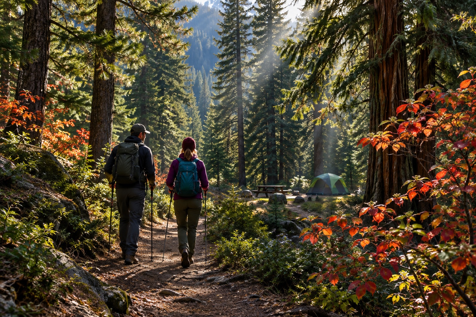
“This is a remote area. Please be sure to carry plenty of water, sunscreen, and a first aid kit. Please stay on the trail; rattlesnakes and poison oak are common in the area. Be aware of swift water, as the current may be stronger than it appears.”
Trailhead Campground
The Plumas National Forest page for the Feather Falls Trailhead Campground reads “Site Closed Indefinitely Due to Fire Damage From 2020 North Complex Fire.”
The Forest Service page sends readers to the Plumas National Forest Recreational Opportunity Guide for conditions, maps and directions. We did not find trail conditions or a drive time on the pages we read, so plan the day with the Forest Service’s own page the morning you go. This is general guidance, not safety advice.
Frequently Asked Questions
How much does it cost to visit Lake Oroville?
California State Parks lists vehicle day use at $8.00, a boat launch at $5.00 and a combined day use and boat launch at $13.00.
How long is the Feather Falls hike?
The Forest Service says the upper trail is 4.5 miles and can form a loop with the 3.5 mile lower trail, with 0.5 miles from their junction to the overlook, and to allow 4 to 6 hours for the loop.
Are dogs allowed at Lake Oroville?
State Parks says dogs are allowed only in the parking lot, on the paved roadway and in campgrounds, and not on trails or day-use areas.
Sources
- California State Parks, Lake Oroville SRA: https://www.parks.ca.gov/?page_id=462 (read November 3, 2026, Current fee table)
- USDA Forest Service, Feather Falls Scenic Area and Recreation Trail: https://www.fs.usda.gov/wildflowers/regions/Pacific_Southwest/FeatherFalls/index.shtml (read November 3, 2026)
- USDA Forest Service, Feather Falls Trailhead Campground: https://www.fs.usda.gov/r05/plumas/recreation/feather-falls-trailhead-campground (read November 3, 2026)
- Our Oroville Dam overlooks page (DWR facts): https://itschico.com/oroville/oroville-dam-overlooks/ (read November 3, 2026, operator pages read Oct 29, 2026)
Keep Planning
On The Map
Cite this page: It's Chico, “Lake Oroville and Feather Falls: Fees, Trails and Visitor Center”, itschico.com/visit/tours-and-day-trips/lake-oroville-and-feather-falls/ (updated ). By the It's Chico editorial team. Free to quote with attribution and a link to this page; data and tables are licensed CC BY 4.0.